surveying
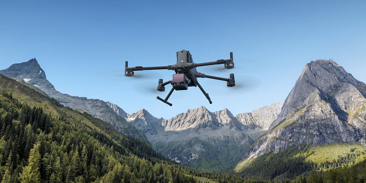
Zenmuse L3
DJI's first long-range high-precision airborne LiDAR system, providing long-distance scanning and high-precision data collection capabilities, compatible with Matrice series platforms, designed for large-scale mapping.
Technical Specifications
AccuracyHigh
CompatibleMatrice Series
Data CollectionAdvanced
MappingLarge-Scale
TaglineSee Through, Far and True
TypeLong-Range LiDAR